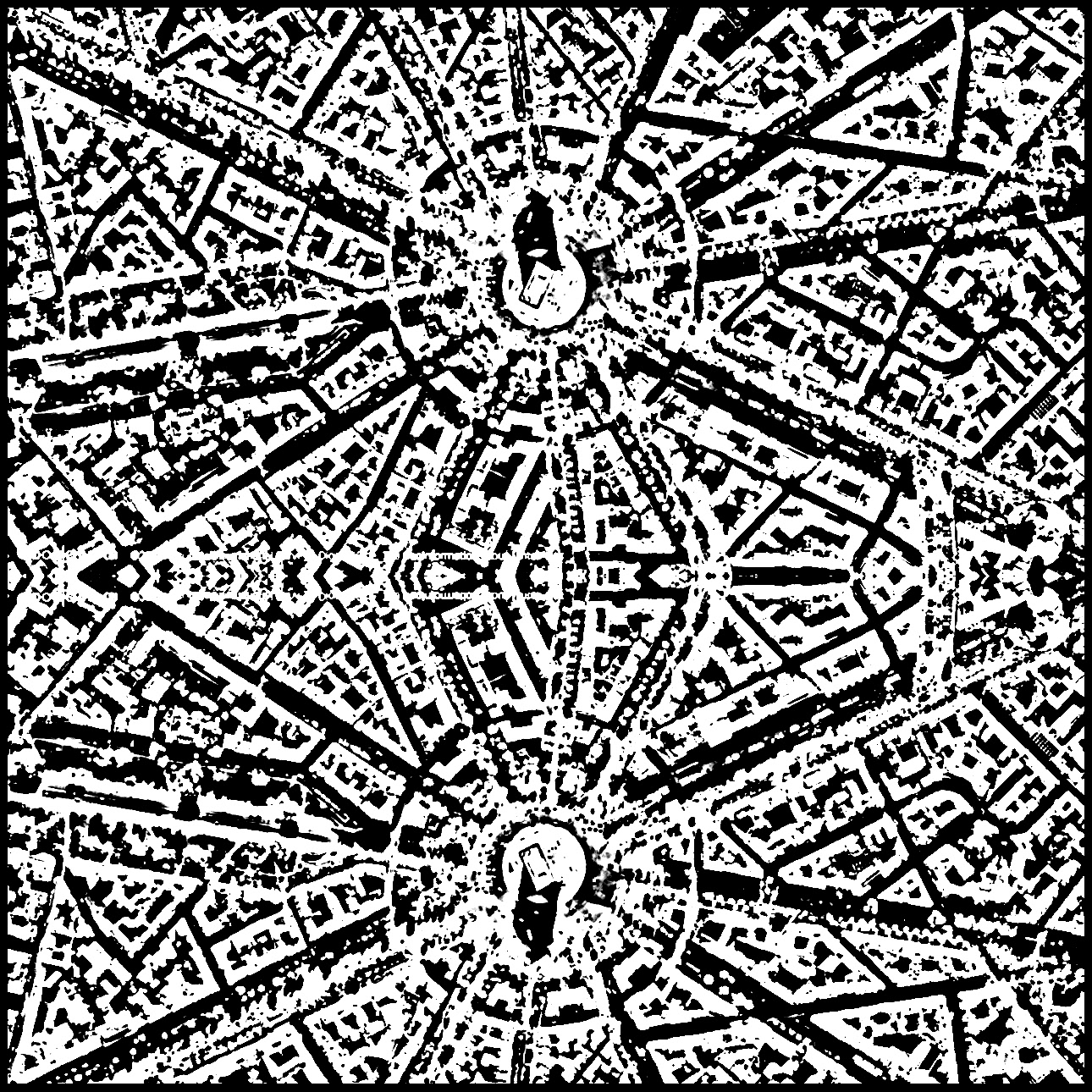
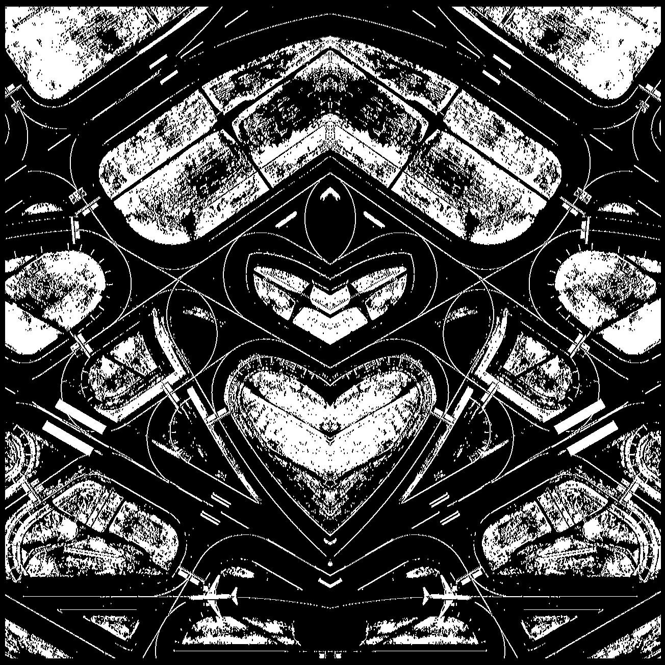
Istambul #2 - (digital print - 2017)
Usually, I can only remember properly a place I’ve been to – you know like a place you go when you travel – if I look at it on a map and if I know something about it too before I get there. Or if I’m told something about it when I’m actually there. Say someone tells me: here is where this old cathedral used to stand but it was destroyed by a fire.
But there is something about knowing a place location on a map, its relation to the rest of the world that draws my attention and makes me memorise that place better.
I also tend to spend hours looking on maps at places I probably will never go, like Antartica. Or sometimes places that I’d love to go, like Kyoto - which seems to be a city concentrated on the West and Wast of the Kamo River. I’m not sure why this fact is interesting, but to me it is.
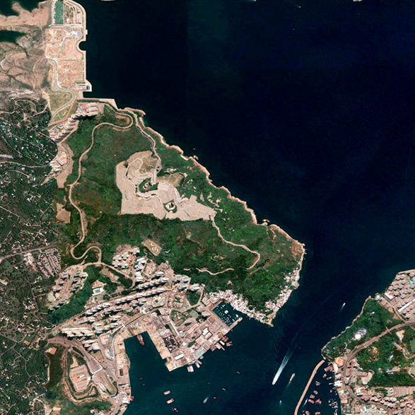
Sometime ago a colleague introduced me to an extension for the Chrome web browser that shows you a random satellite photo every time you open a new tab. As soon as I installed it I knew this would become new habit and that looking at random satellite images on a daily basis would have an impact on my creative process. I could feel this would lead me to something so I let it “marinate”.
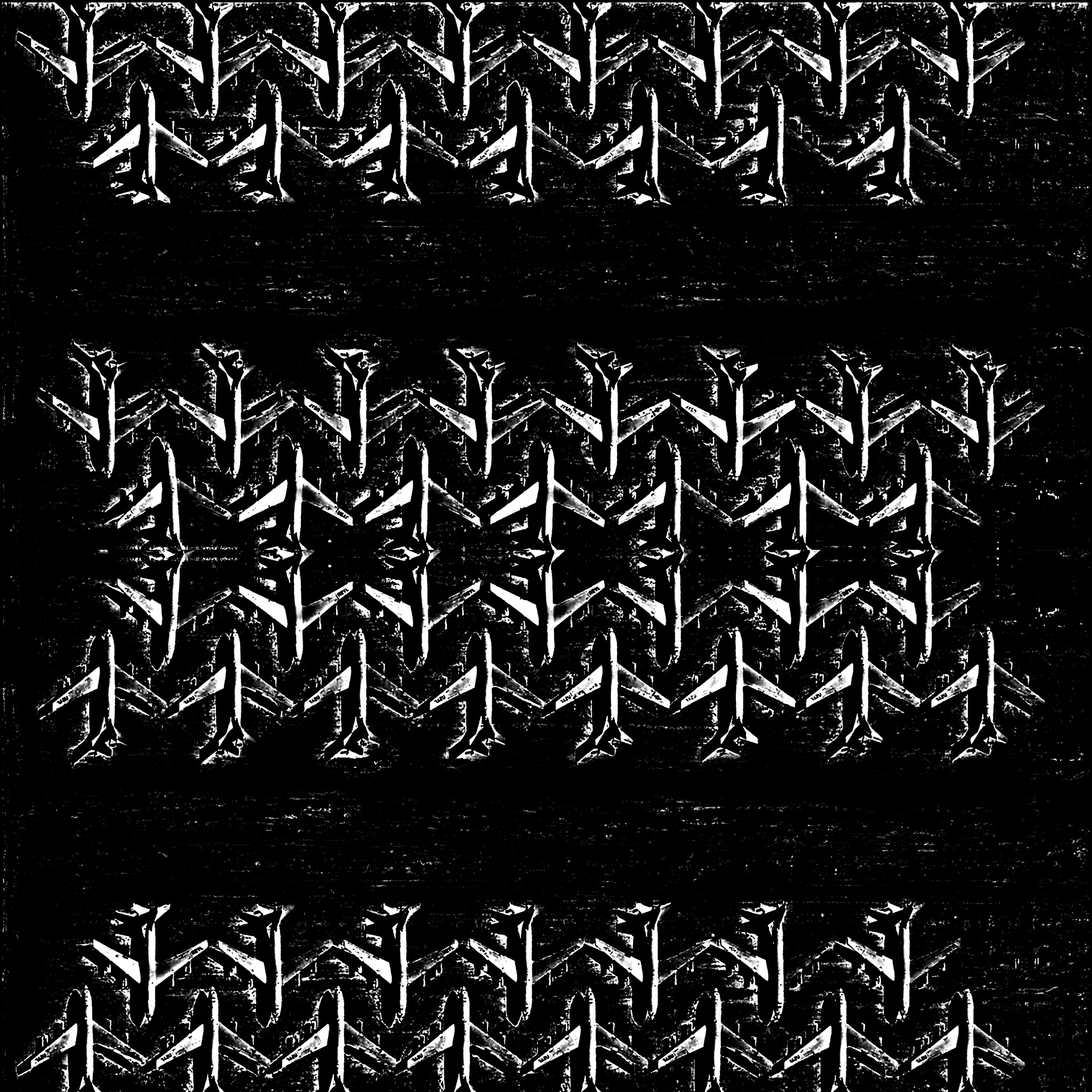
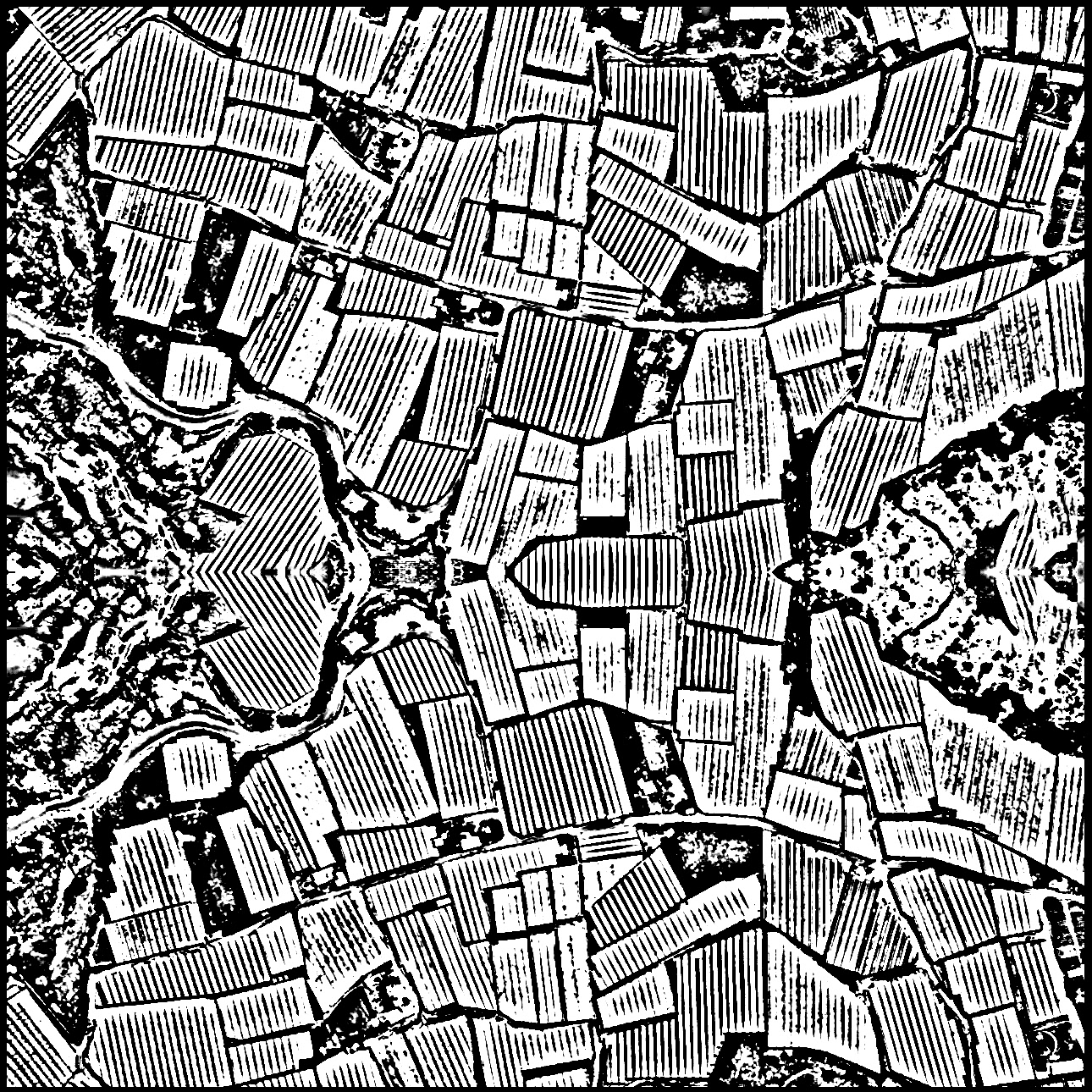
After two years looking at these images, I started collecting the ones that I could not take my eye off or the ones that took my mind off track. At the time, the world was starting to go crazy with the ever more evident rise of nationalism, xenophobia and the refugee crisis. However, from the above, Earth is one.
There’s something about looking at Earth from above, from very high altitudes that makes us feel awe. Maybe it’s our never ending dream of flying without aid or it’s just that we suddenly realise how beautiful this planet we inhabit is and how beautiful the things we build can turn when looked from above.
I think I just look long enough until the images become a dreamlike experience.
40 x 35cm - printed on Hahnemühle Photo Rag 308gsm (fine art smooth matt) - Edition of 10
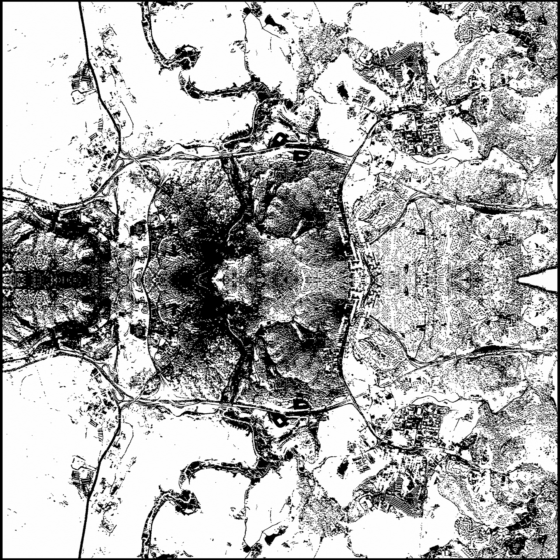
Istambul #2
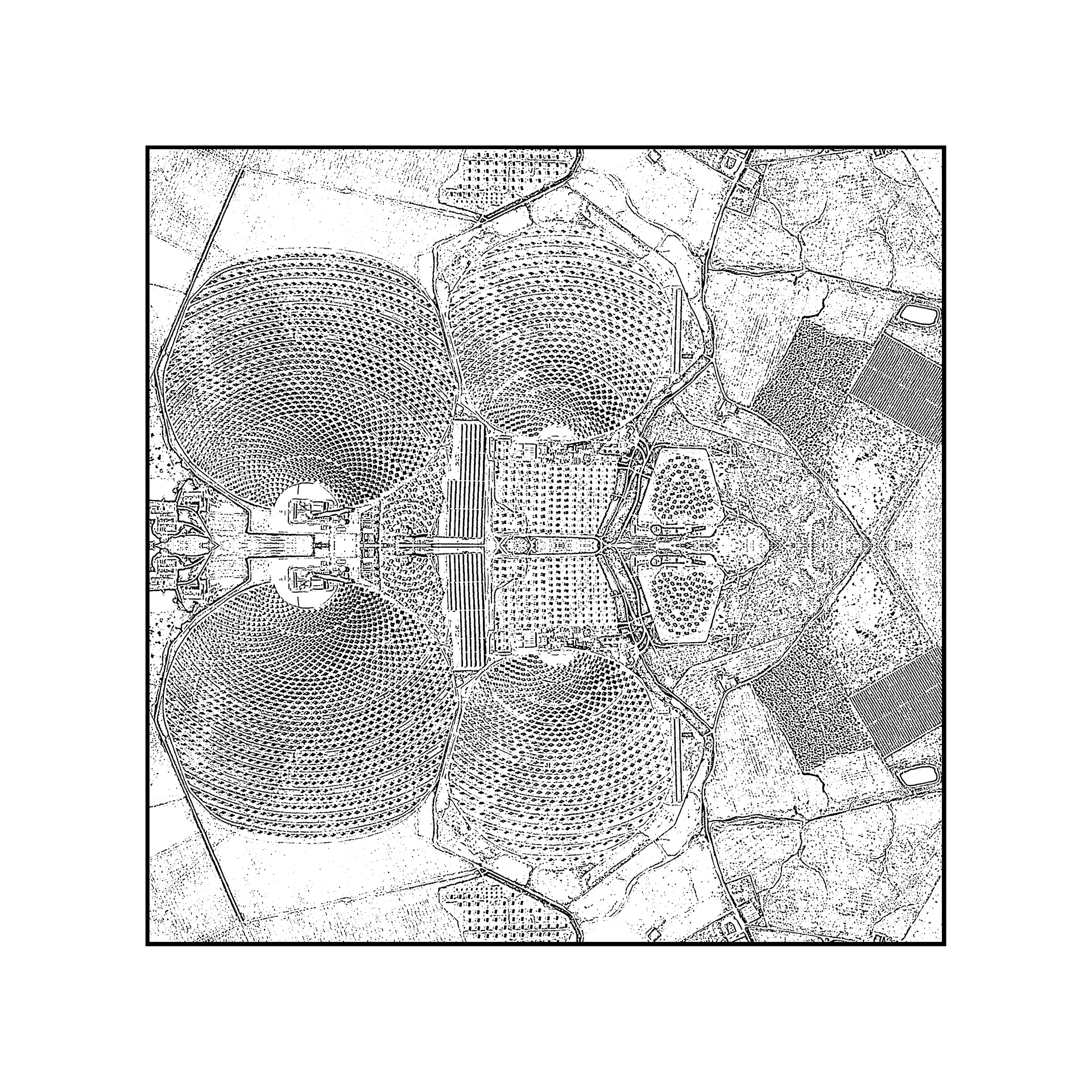
San Lucar del Major
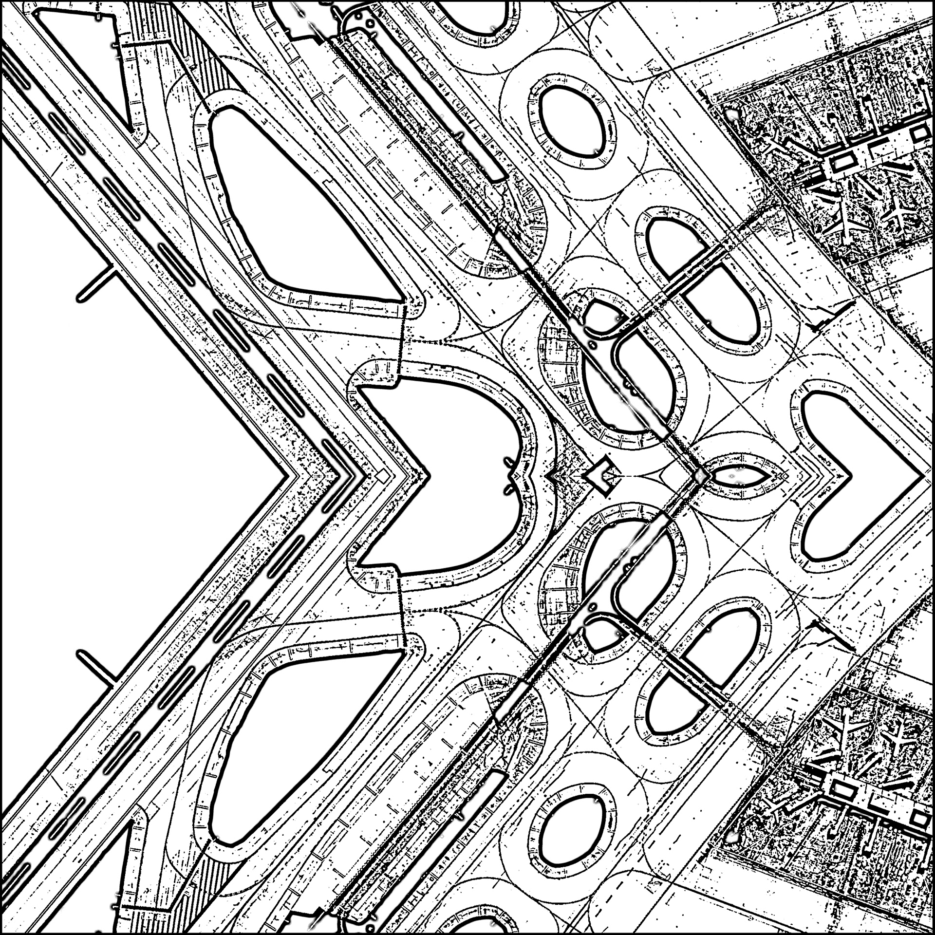
Chicago
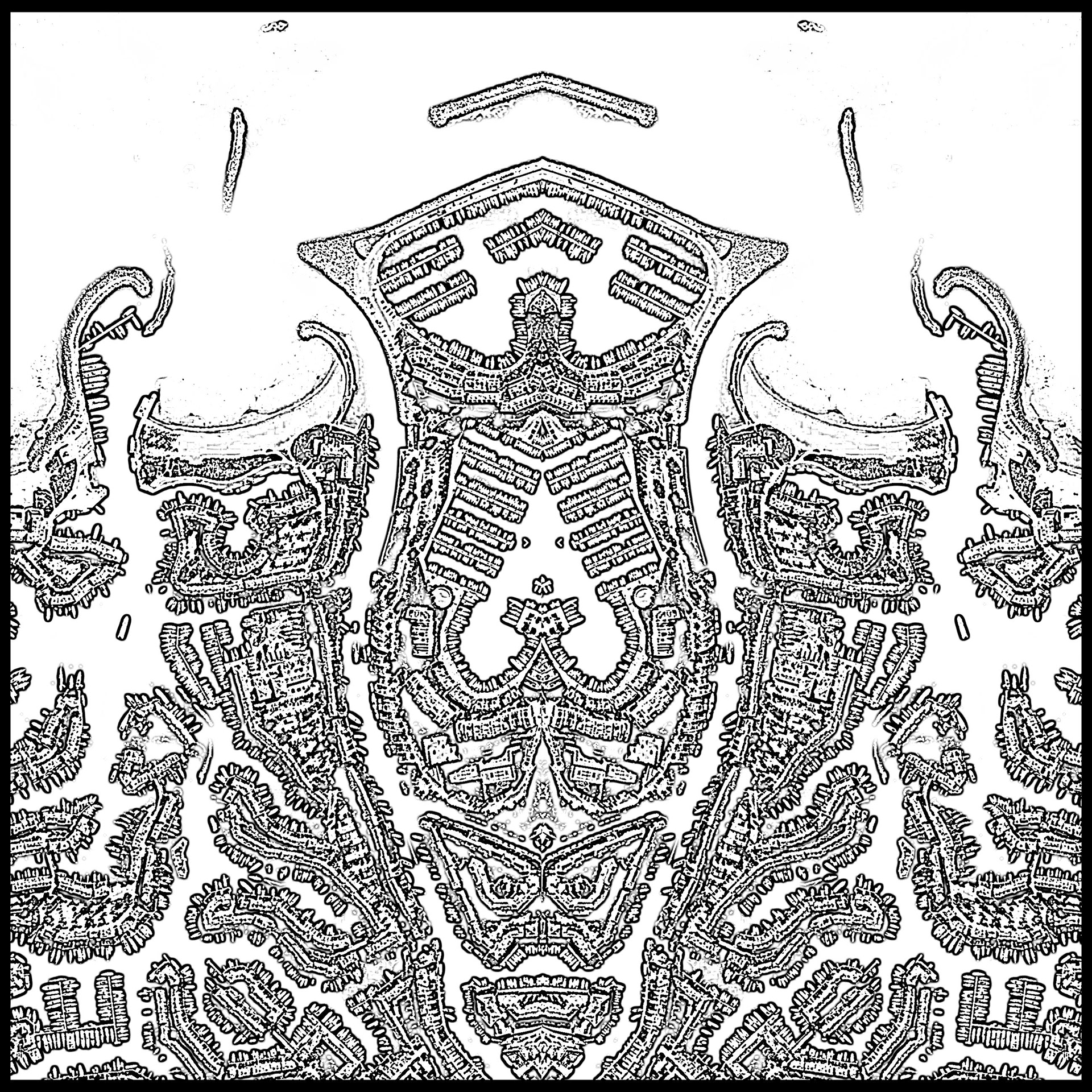
Grimaud
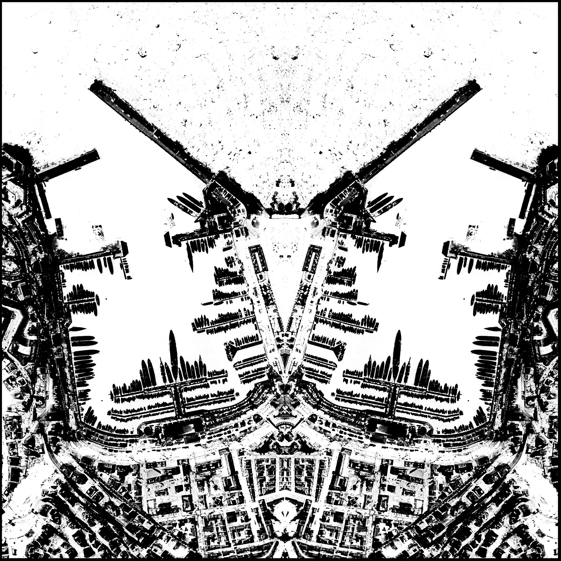
Monaco
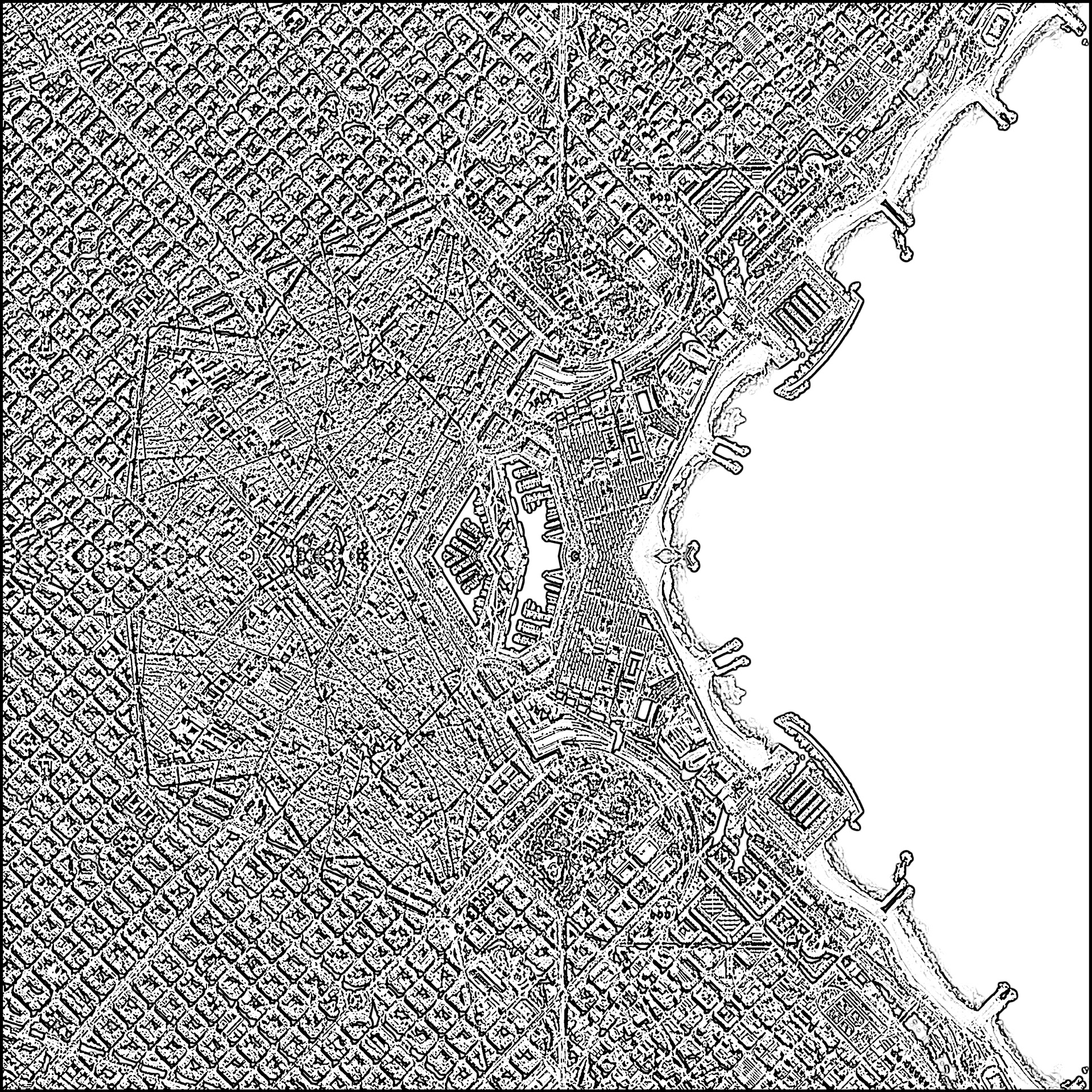
Somewhere in Spain
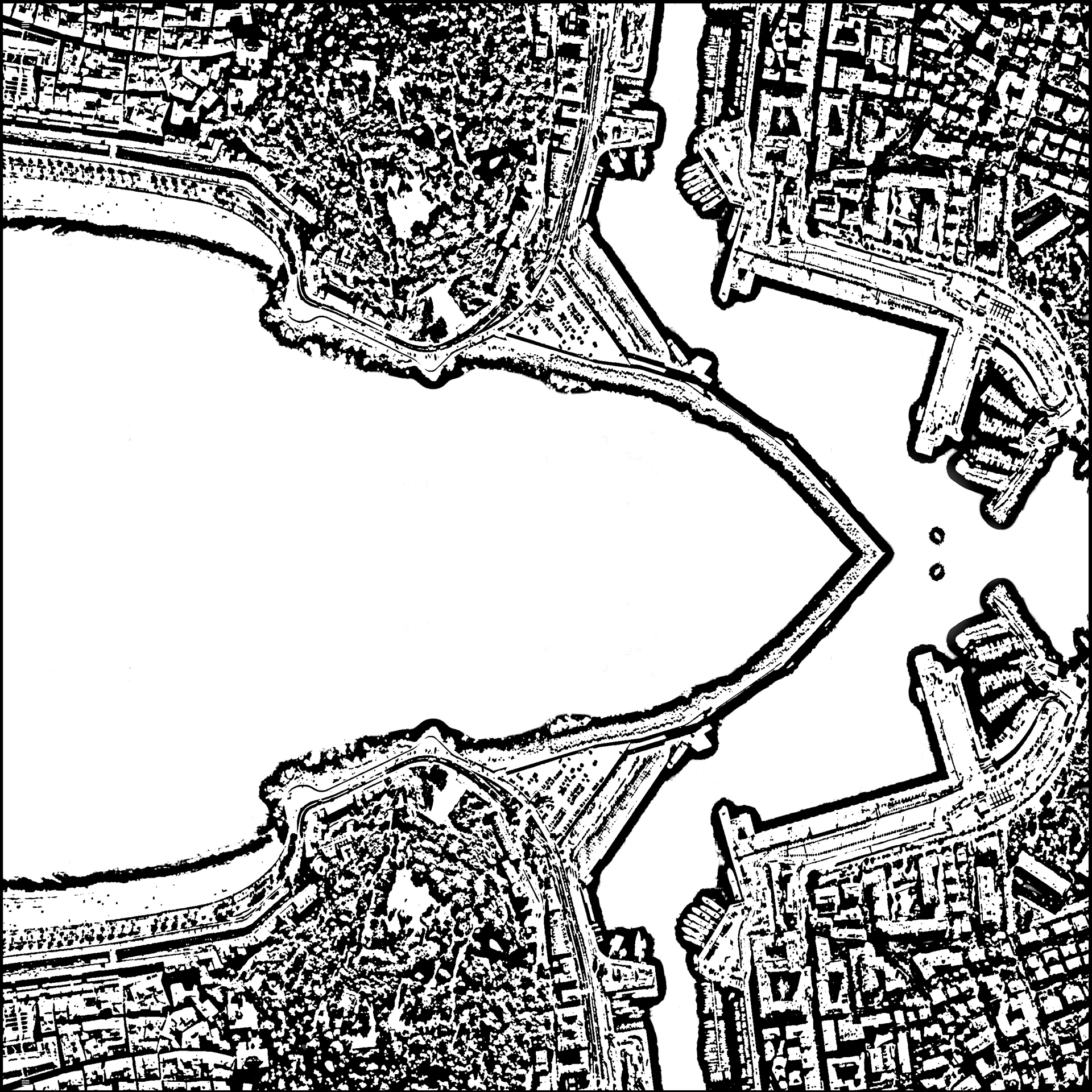
Nice
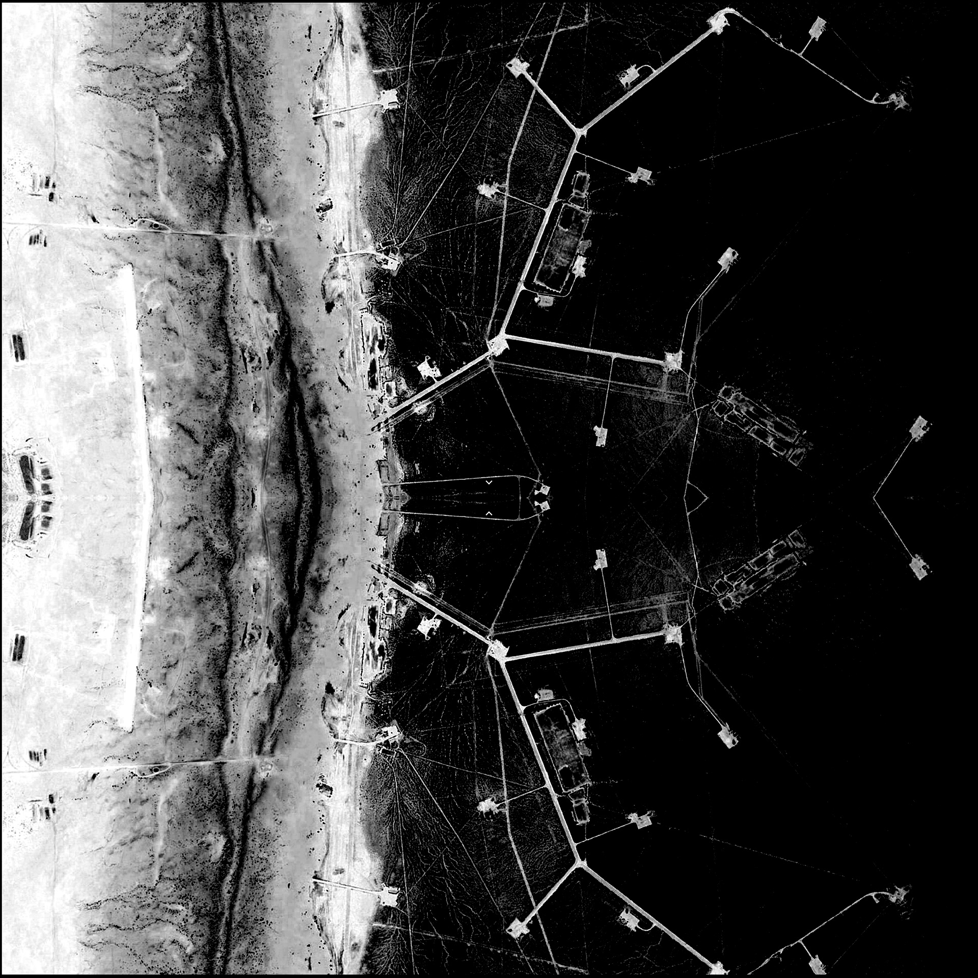
Mooba #2
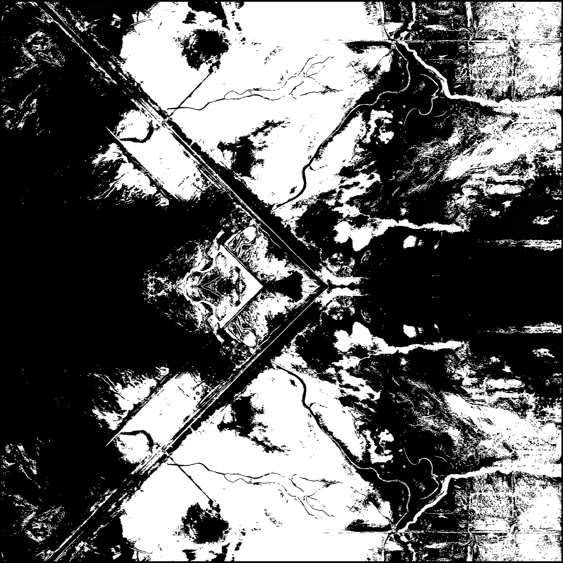
San Bernadino County
Ota
Tucson
Somewhere in Greece
